Park System for the National Capital Washington Region
Author: National Capital Park & Planning Commission
Date: February 1927
PDF Source: Special Collections Research Center, The George Washington University Libraries
Description
This report recommended five major regional park projects: Lower Potomac, Upper Potomac, Indian Creek, Rock Creek, and Northwest Branch. The report also included Fort Boulevard and several sites of more local interest, particularly along stream valleys.
The report anticipated open spaces being used for motor roads, bridle paths, hiking trails, picnic groves, observation towers, “properly ordered tea houses,” and “refreshment places.” It advised preserving “natural beauty,” points of historic interest, wildlife and “natural wonders of the area.” It suggested that spaces “may be very useful in the teaching of botany, zoology, etc.” Report sections on “Methods of Procedure” and “Division of Costs and Responsibilities” described processes and costs for “withdrawing lands from urban occupation.”
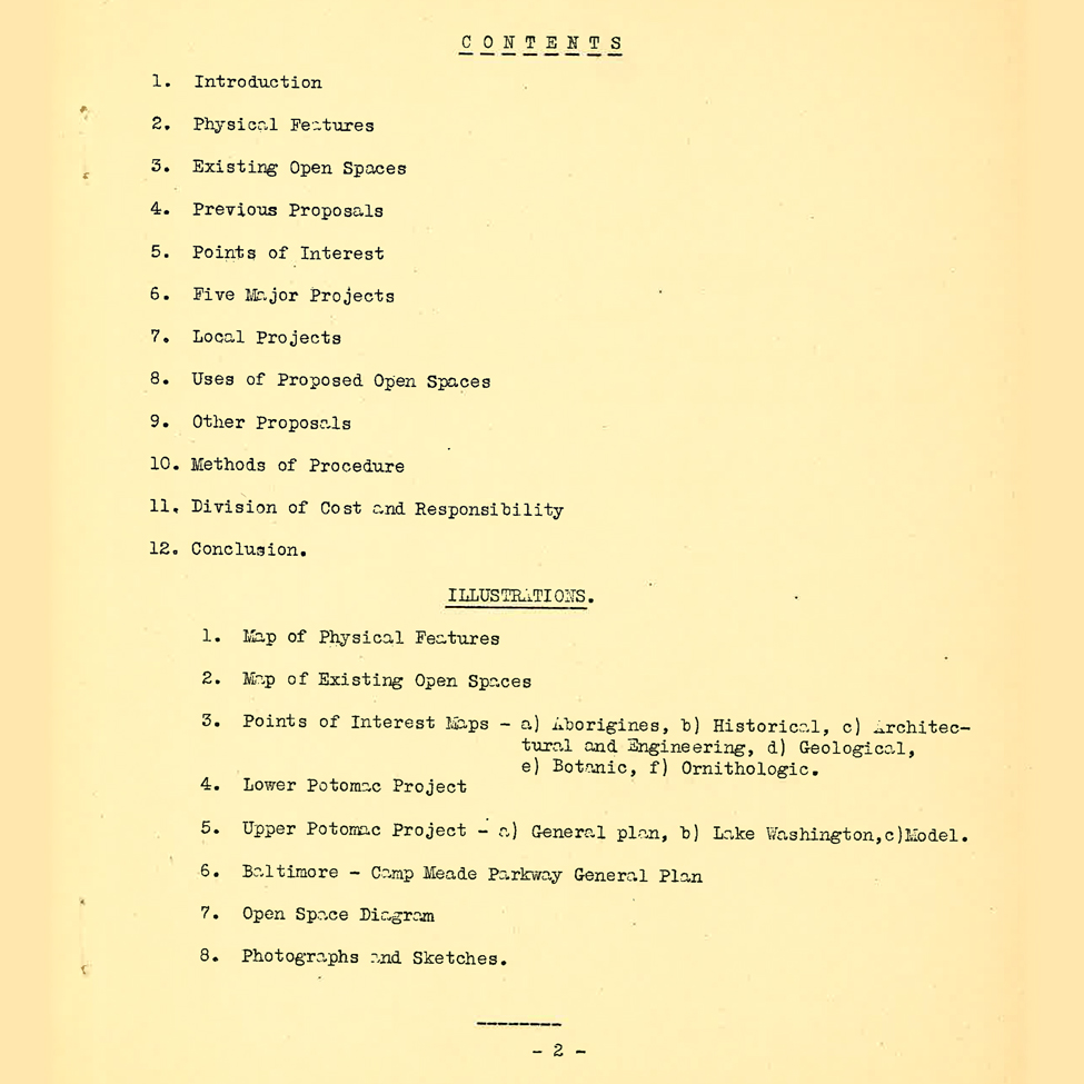
The reports outlined the “factors governing [the] choice of open space areas” which included the region’s physical features, chiefly the “Y” shape of the rivers and its stream valleys. Other factors included existing open spaces; previous regional park proposals; and areas of special interest including natural history, “aborigines” (referencing archaeological materials), scientific, historic, architectural, and engineering features.